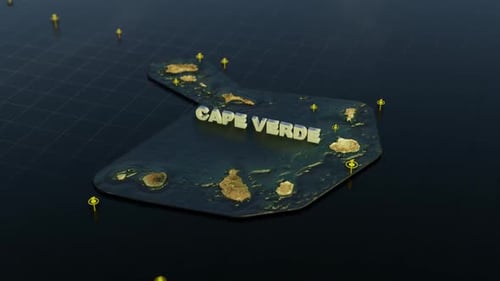
Animated World Map Zoom and Madagascar Country Reveal
By RevLine3DOne great value subscription from €14.50/month
- Unlimited downloads of 27+ million creative assets
- AI Tools: video, image and more
- Lifetime commercial license
- Easy cancellation
Attributes
- Length
- 0:10
- Resolution
- 3840 x 2160
- File Size
- 664 MB
- Frame Rate
- 30 fps
- Alpha Channel
- No
- Looped
- No
- Video Encoding
- ProRes
- Orientation
- Horizontal
- Commercial License
- Further Information
Description
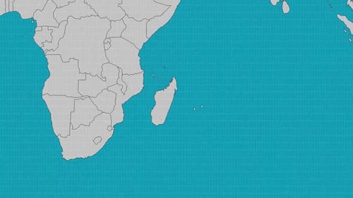
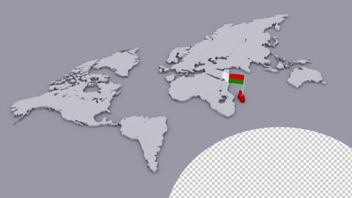
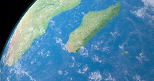
The animation begins with a global view of the earth. It then smoothly zooms in, focusing on the island nation of Madagascar. A bright, glowing outline traces the borders of Madagascar, followed by the precise reveal of its name in a clean, sans-serif font. This polished, informative motion graphic is ideal for geographic presentations, travel documentaries, educational content, or any project requiring a precise and visually engaging way to highlight a specific global location.